


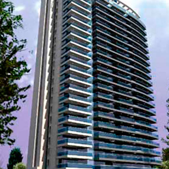
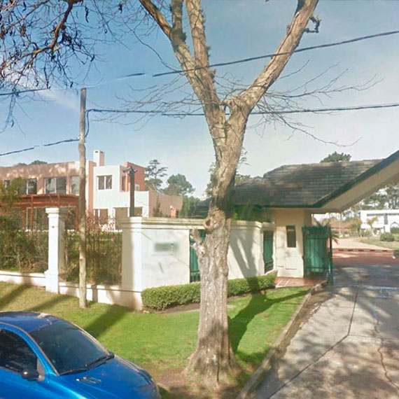
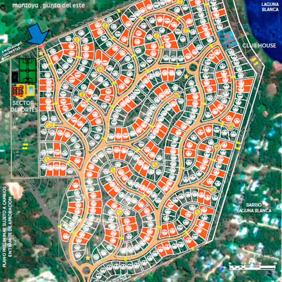
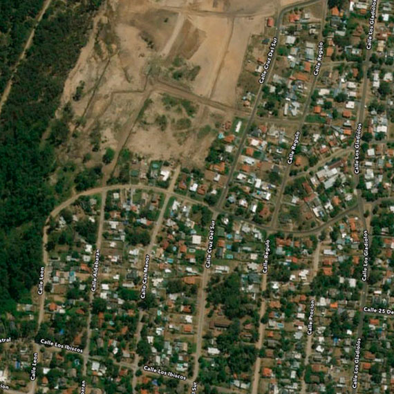
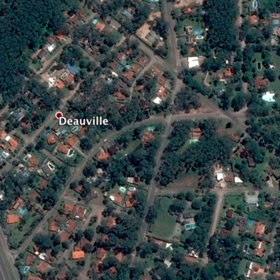
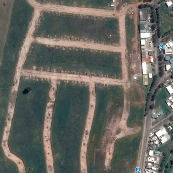
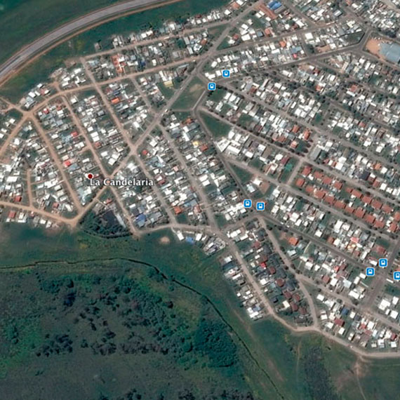
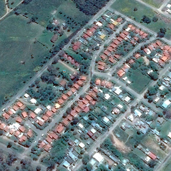
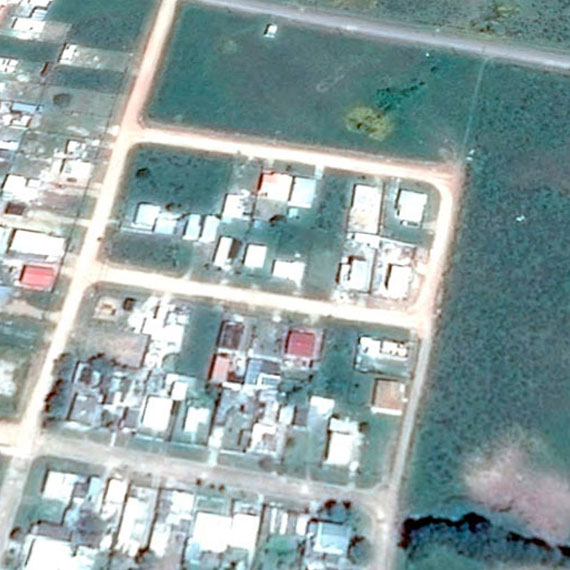
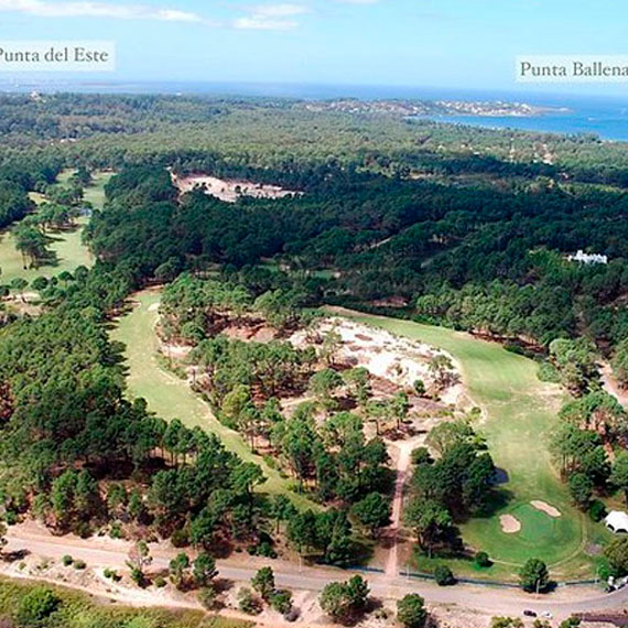
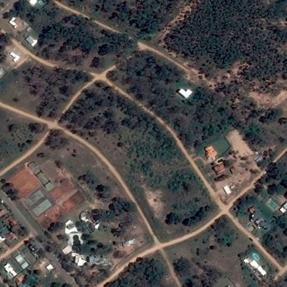
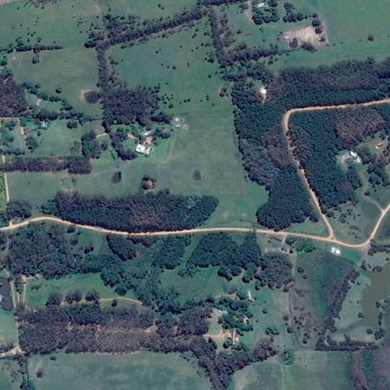
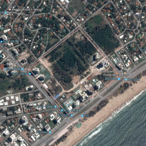
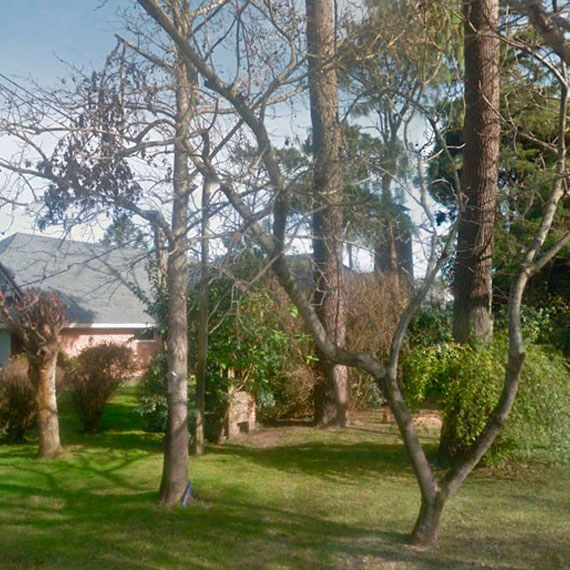
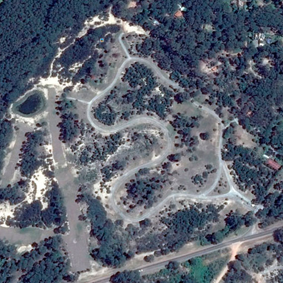
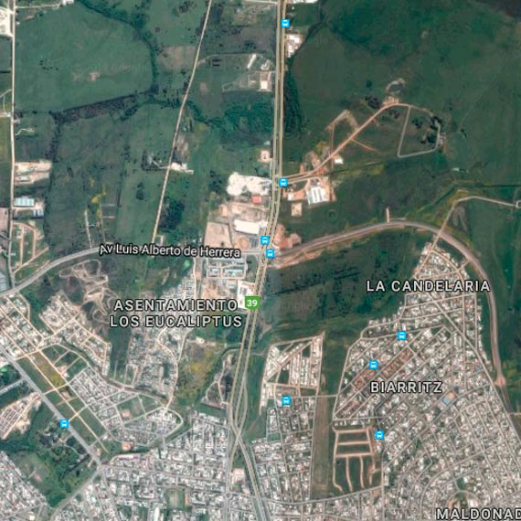
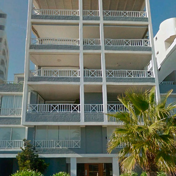
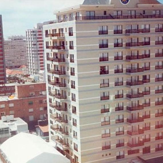
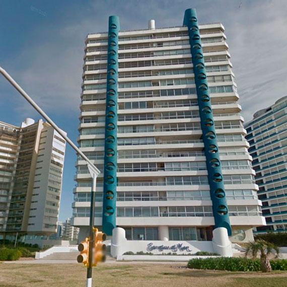
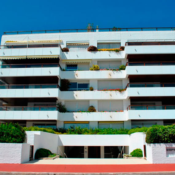
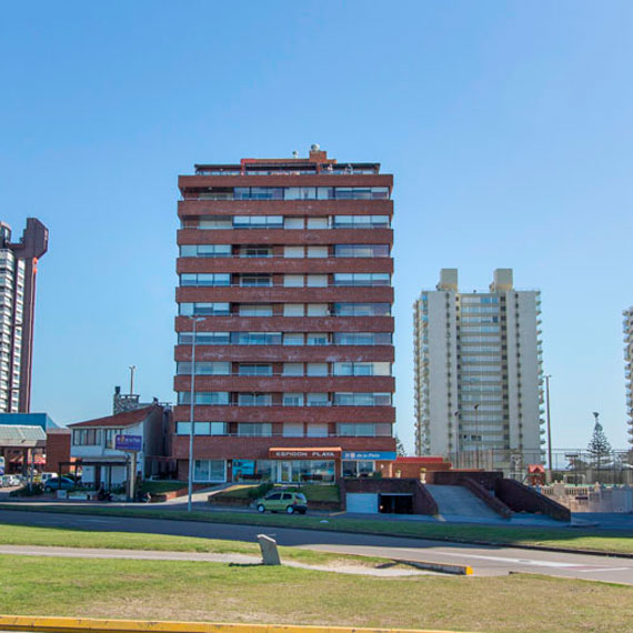
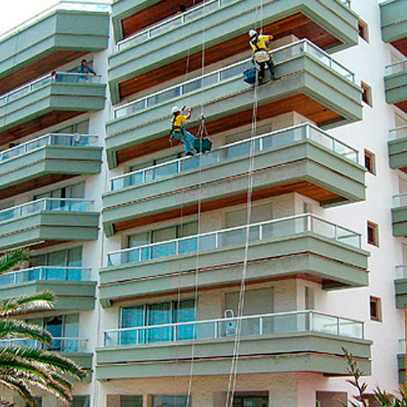
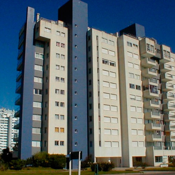
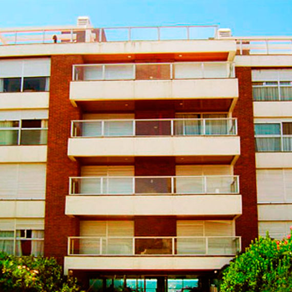
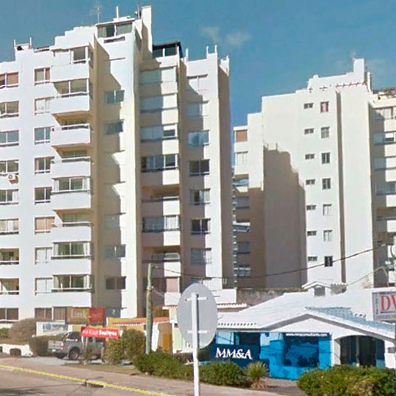
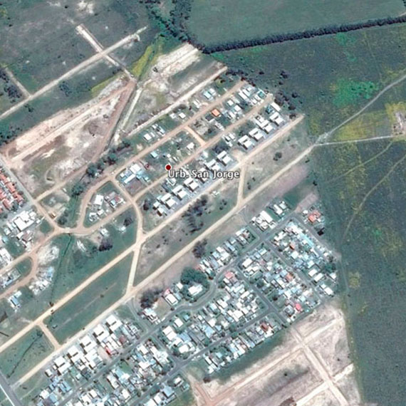
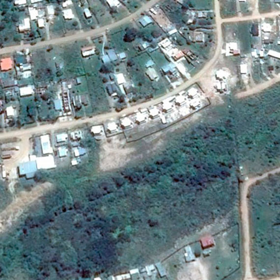
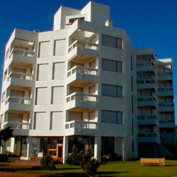
Design and Execution of City Planning, Countries and Club Houses Studies - Land Division Project Studies - Inclusion of Buildings in Condominiums - Work, piling, founding lay out - Topographical Surveys - Volume Calculation - Contour Lines
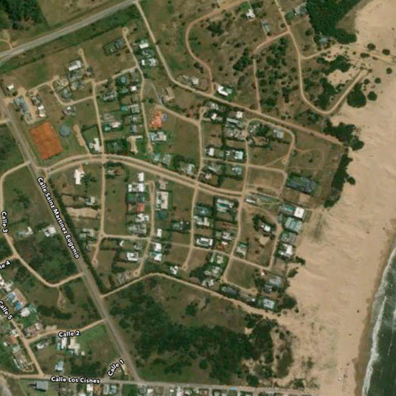
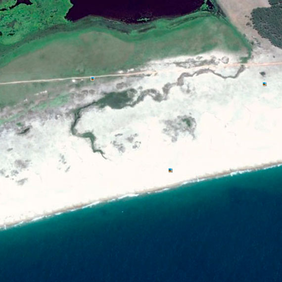
Longitudinal sections - Grade Line Calculation - Comparison Lines - Mark up - Real Estate Invasion - Measurement, Planes, Merger, Division, Parcelling out, Easements, Prescription - Coordinate Link with the Geodetic Network and elevations with different datums - Rural Measurements - Laying out Forestry Areas, Cultivation Areas, Yards, Fields - Sub Divisions - Real Estate Appraisals
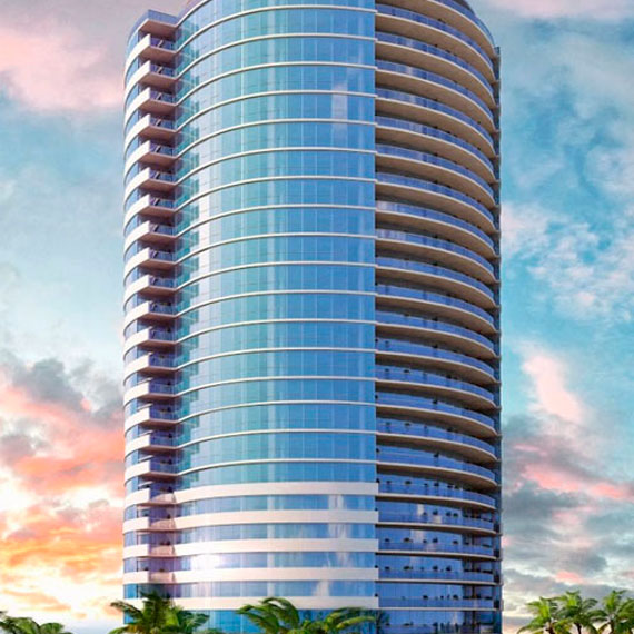

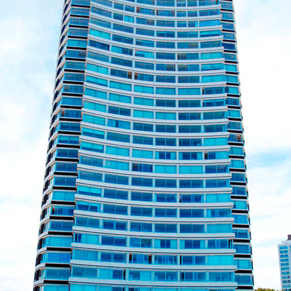
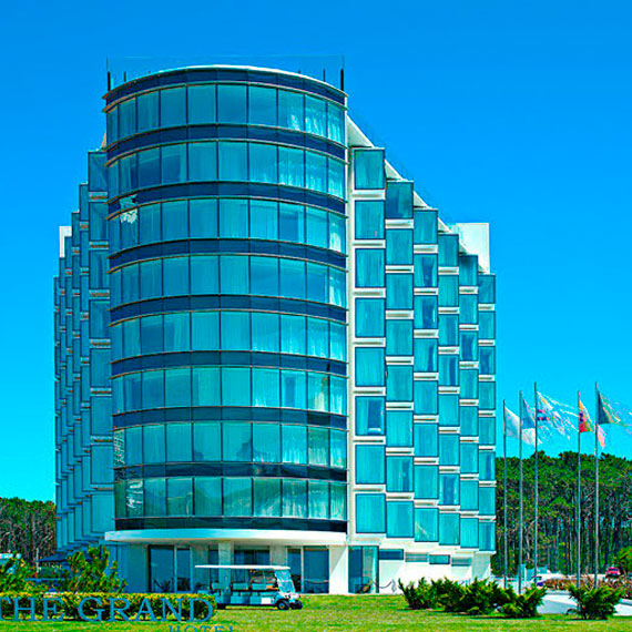
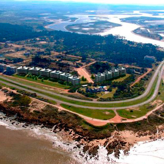
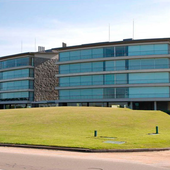
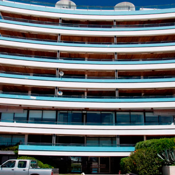
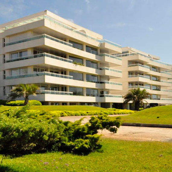

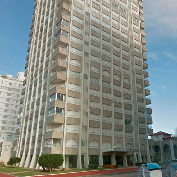
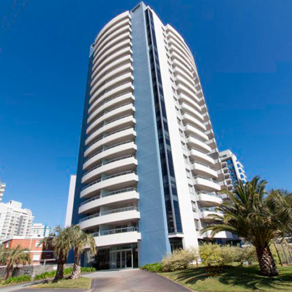
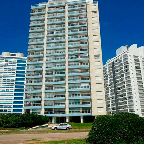
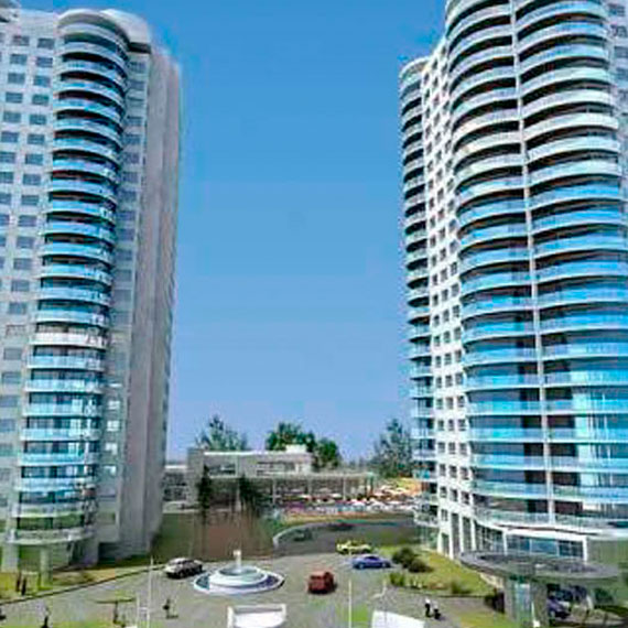
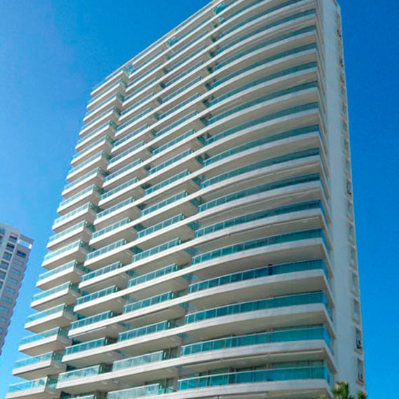


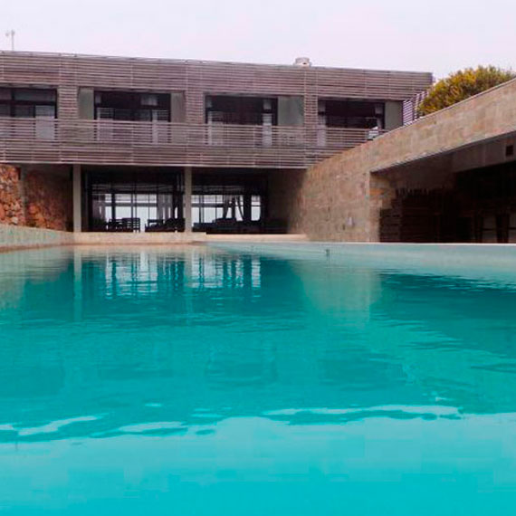
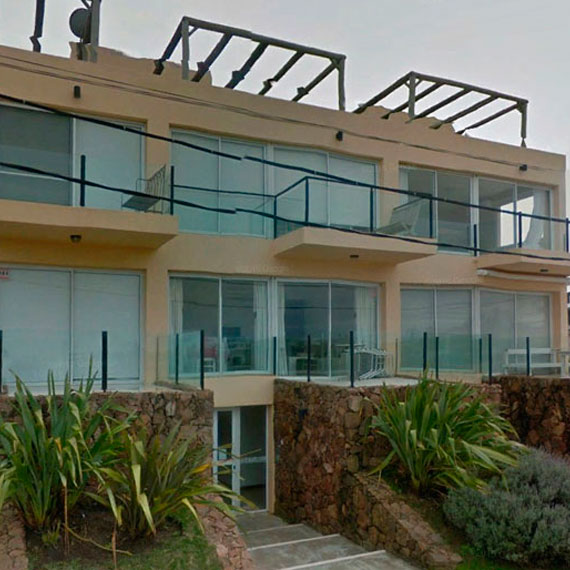
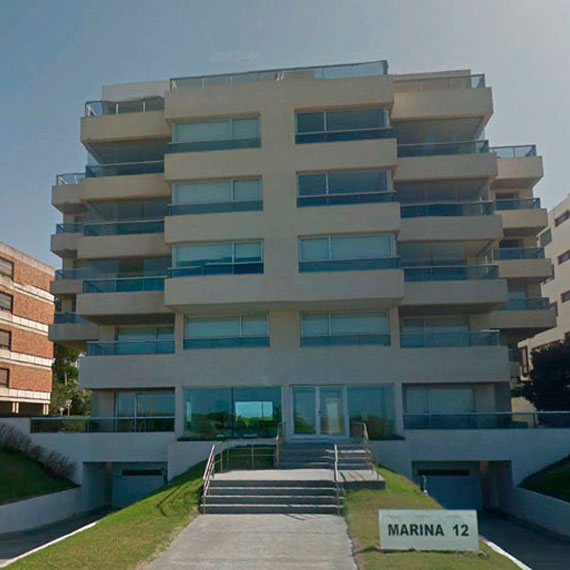
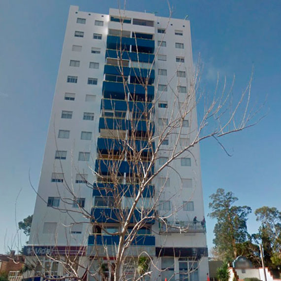
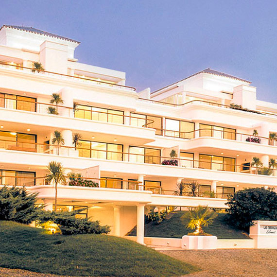

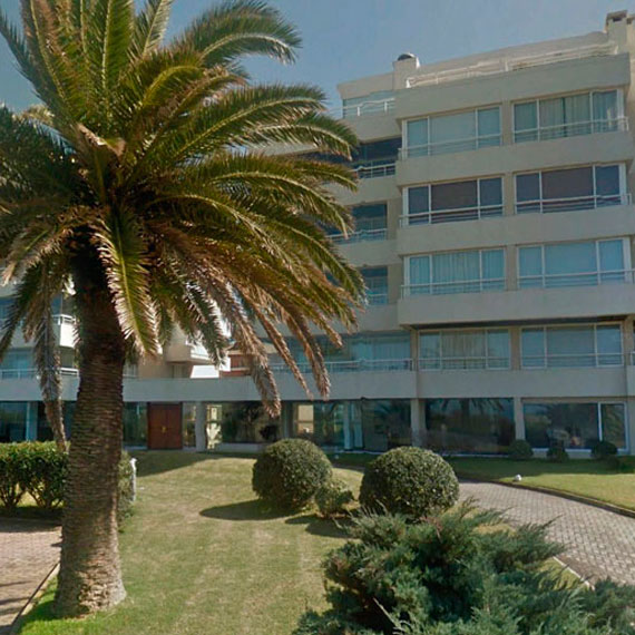


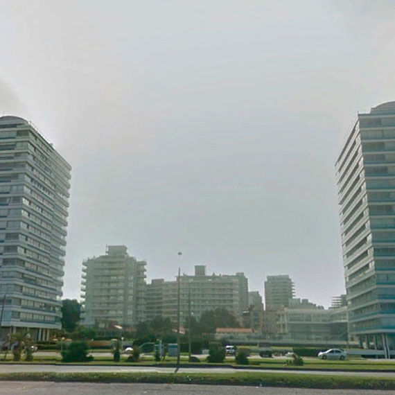
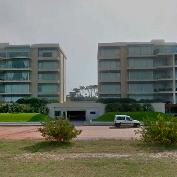
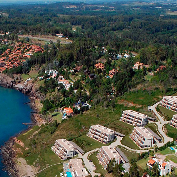
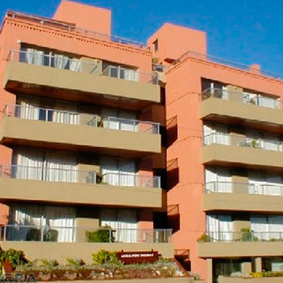
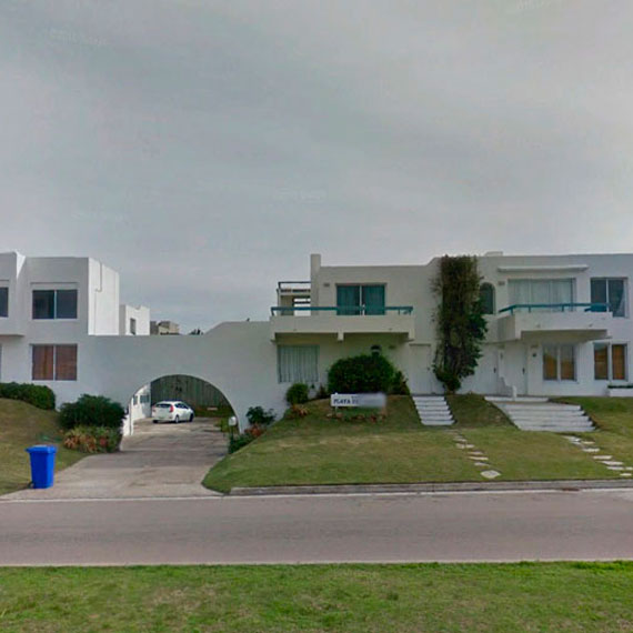
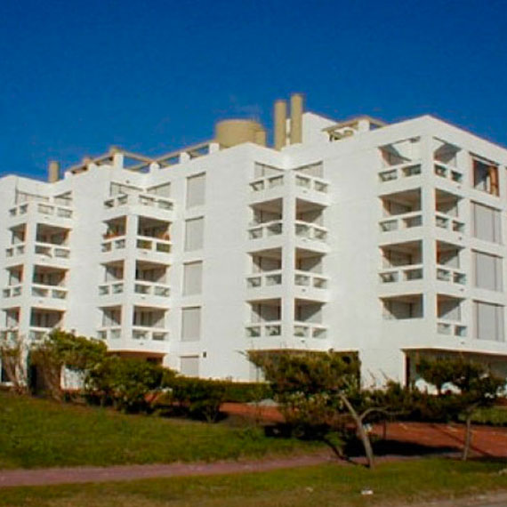
Satisfy our client's needs, under national and district legal regulations, by providing our clients with: first class technology, experience and support in our work, always focusing on obtaining the best city planning, economic and environmental result for the client's investment, in order to ensure the future users, as well as the surrounding people, the certainty of living in a sustainable development enabling environment.
34.54'36" S 54.59'46"W - Rambla Williman esq. Sagitario - Parada 36, CP: 20005 - Punta del Este, Maldonado, Uruguay
Founded in 1959 by Surveying Eng. (R) Washington Pereira de León our company currently managed by Surveying Engineer Gastón Pereira Esqueff and our staff, helps its clients with solutions to their problems in City Planning Design and Execution, Land Division Projects, Condominiums, Laying out the grounds of Works, Rural Measurements, Topographical Survey Drawing ups, Contour Lines, Marking out, Measurement Planes, Merge, Division, Parcelling out, Easement, Prescription, Coordinate link and services connected with city development.
With our offices in Punta del Este, Uruguay our Bureau counts with the invaluable support and experience of an activity that has been developed from 1959, keeping its development in time with the city progress of the Department of Maldonado, Uruguay.

@GastonPereiraUY
gastón-pereira-b1177732
+598 99666568